Maps
We often use maps within our comms for infographics. We have a range of branded maps that have been developed with a consistent style. All of our world map graphics use the ‘Equal Earth map’ as a foundation, as it has an accurate representation of scale of continents/countries.
We have various map formats available from simplified world maps for infographics, to detailed country and region maps. The examples below outline the different branded maps available.
If you would like to request any of these map assets please contact the design team, who will be able to supply the relevant files.
World maps
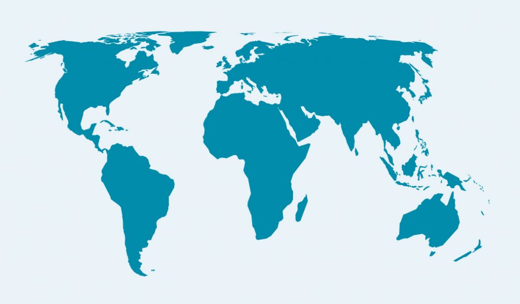
Styalised (Simplified)
For simple infographics we have a simplified world map graphic that has been based on the ‘Equal earth map’ but simplified and stylised to feel more branded. This map is used for more generalist infographics. Some examples of this are shared below.
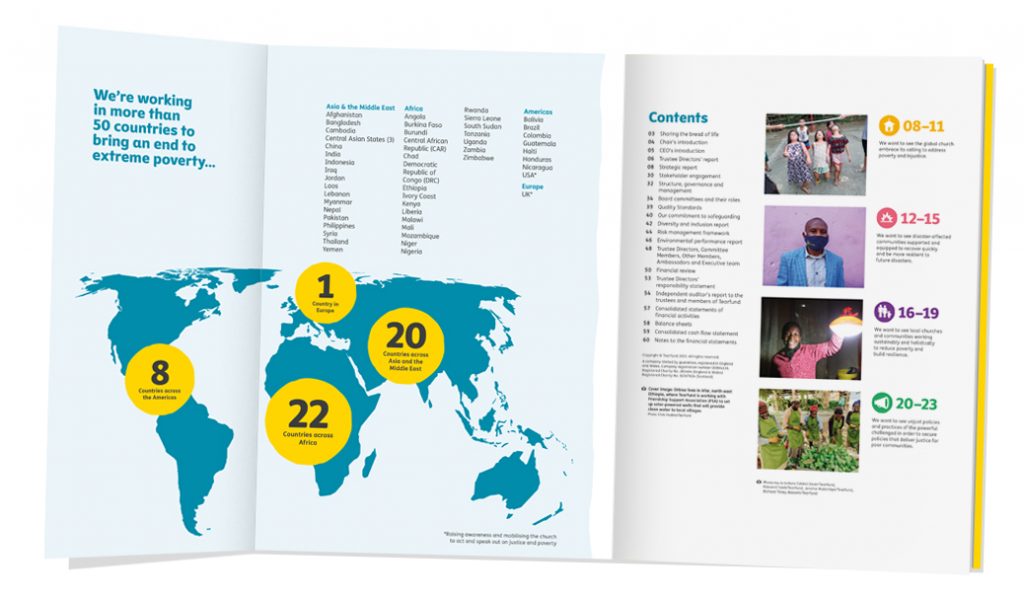
Example 1
This example shows how this map has been used in our annual report to highlight statistics in a more generalised way.
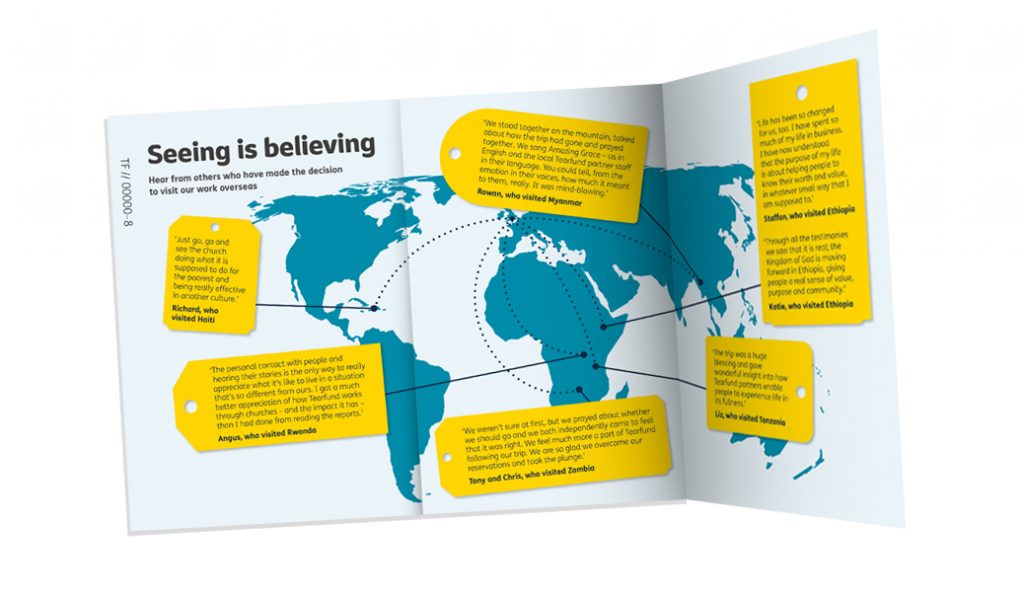
Example 2
This example shows how this map has been used in our partnerships trips brochure to highlight some quotes from supporters who have visited different countries in which we work.
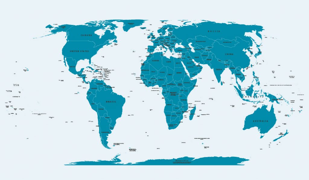
Comprehensive
We also have a more comprehensive version of the world map. This is our most detailed map which is provided as a layered Illustrator (.ai) file.
Layers can be selected as required so that it can be fit for any purpose. Examples of some of these layers include, Country vectors, boarders, country and city names, bodies of water, rivers etc…
All colours and fonts have been set for brand consistency and should not be altered.
This map can be used to highlight continents, clusters or countries and has the layers available to reference country names and varying details as required.
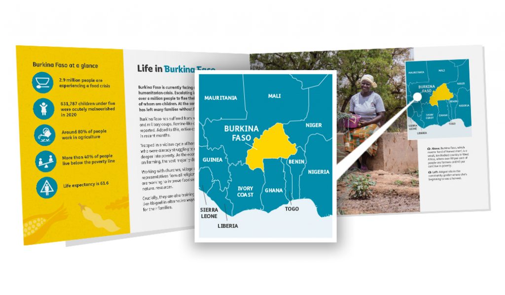
Example 1
This example shows how the comprehensive map has been used in a booklet as part of an appeal DM. The map has been used here to highlight the country being highlighted in the appeal with the context of surrounding countries.
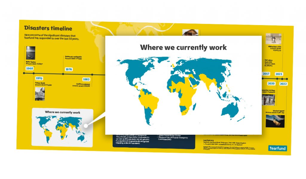
Example 2
This example uses the comprehensive map to highlight all of the countries in which we currently work as part of our disasters timeline.
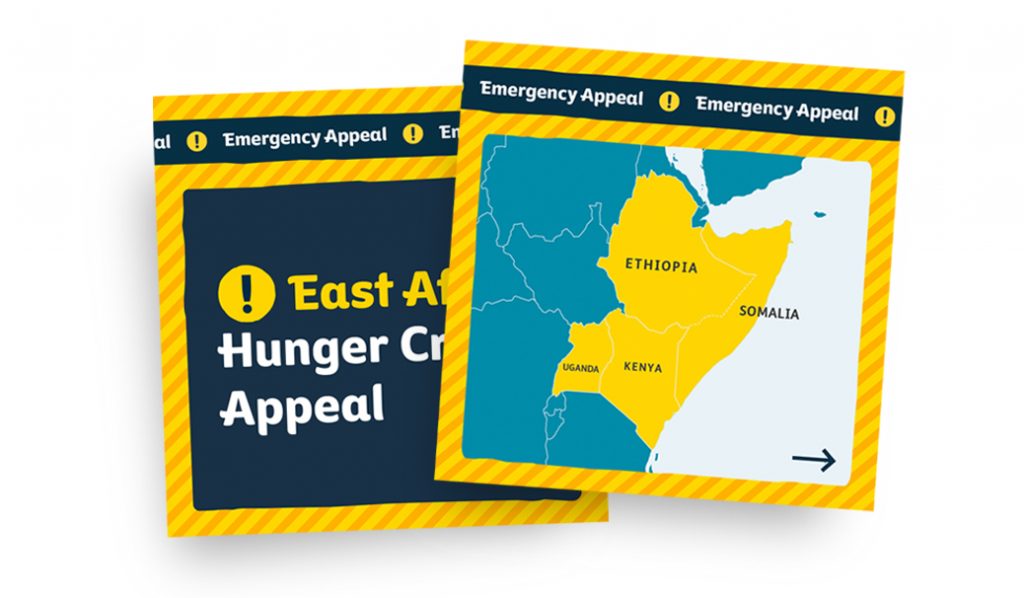
Example 3
This map can also be a helpful asset for use as an infographic for social media. This example shows how we have used the comprehensive map to highlight the countries in East Africa as part of our ‘East Africa Hunger Crisis Appeal’ (2022). We have also used the map in an animated form for social media too.